
Despite the recent rainfall and this new frontal system, the water deficit of 35 percent of rainwater between La Serena and Chillán remains.
A new frontal system will affect the central part of the country, which will be accompanied by low temperatures and strong winds on the coast. To learn more details about this weather event, we spoke with Patricio González, M.Sc., Research Professor in Agroclimatology, Citra, University of Talca.
“The frontal system that is coming is a cold frontal system that is accompanied by a polar air mass that will lower temperatures during the rain, with maximums that will not exceed 7-8ºC and minimums of 3ºC to 4ºC, this will be on Wednesday and Thursday and will cover from Copiapó to Ñuble, where this rain will concentrate and will also advance to Puerto Montt, but it will be a little weaker,” explained the Agroclimatologist from the University of Talca.
The frontal system that will spread will be accompanied by strong winds of between 60-70 kilometers in the coastal sector and snow in foothill areas.
“The zero isotherm will be at 1,000 meters, quite low, so that means that it can snow in the foothills; in the case of the Maule region, in Curicó, Talca, Linares, it can snow in the foothills, but not in the valley,” explained Patricio Gonzalez.
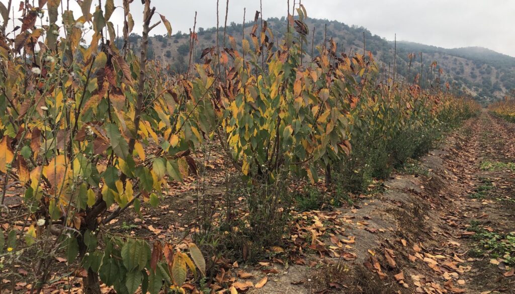
In the Maule region, 30-35 millimeters of rain are expected between Wednesday and Thursday of this week, however the water deficit in the area continues.
“However, despite the intensity of this frontal system and the snow that has fallen, there has not been enough snow to provide a buffer for the agricultural season that runs from September to March of next year. If we transform the snow that fell in the Maule region, which is the water that will be available in the flows, we have a deficit of 61 percent,” Gonzalez warned.
The agroclimatologist from the University of Talca also pointed out that: “These storms are not as intense as those of the 1980s, when it rained for a week, and 300 mm of snow accumulated, not 30-35 mm as now. Before, two to three meters of snow fell, but now these storms last a day and a half and there is a long period when it does not rain, which increases the water deficit. Now we have a deficit of 35 percent, but as long as it does not rain, it increases to 40-45 percent. This is a problem derived from climate change. Frontal systems are shorter, but we need a frontal system that lasts 5 to 7 days and accumulates a quantity of snow of 2-3 meters.” said Patricio Gonzalez.
Regarding what will happen after the frontal system, González said that temperatures will decrease and frost events will occur.
“This polar air mass coming behind the frontal system will leave frosts, in the case of the Maule region -2ºC to -3ºC, both in the valley and in the foothills, and that will be between 3 and 8 in the morning on Friday, Saturday, and on Sunday we should already have 0ºC. For next week, at least in the models, no new frontal systems are seen in the period from July 18 to 21,” Gonzalez concluded.