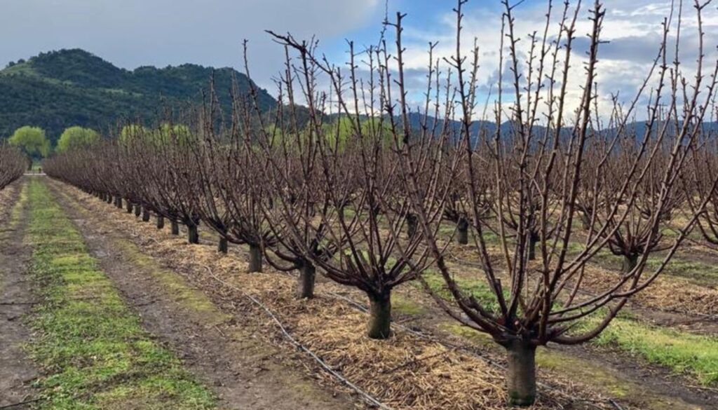
WiseConn has launched its revolutionary NDVI Image Analysis tool on its DropControl platform, available to all its customers. This innovative solution aims to transform agricultural management by offering a detailed and accurate view of the health status of crops.
Using NDVI satellite imagery and advanced analytics technology, the tool enables farmers to gain crucial insights into the vigor and health of their crops. Key features include:
- Identification of areas with water deficit: Detects areas with water needs, facilitating more efficient irrigation management.
- Continuous monitoring of crop growth: Provides real-time monitoring of plantation development, offering essential data for strategic decisions.
- Mapping spatial variability of the field: It provides a detailed view of the different conditions within the field, allowing precise adjustments to agricultural practices.
- Cross-referencing: The tool allows you to view and graph satellite image analysis data with soil and water balance analysis, facilitating the cross-referencing of information and analysis of the data set, for a deeper understanding of the state of your crops.
With this new innovation, Wiseconn reaffirms its commitment to always be at the forefront of the latest technologies, providing comprehensive solutions for its customers. For more information, interested parties can contact us via email [email protected] or visit the website www.wiseconn.cl.