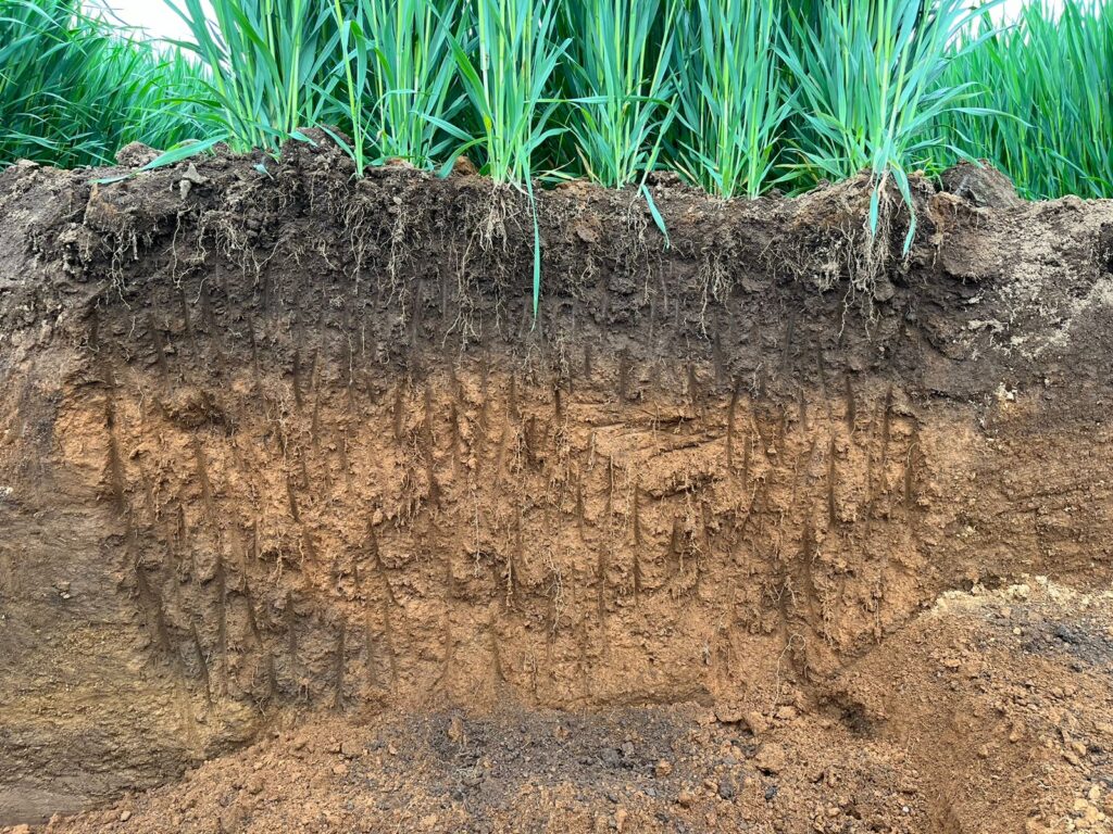
Choosing the right aerial imaging solution for crop management is a crucial decision for farmers and agricultural producers. In this context, Ceres Imaging stands out as an innovative company that offers a range of services that go beyond the norm. Unlike other providers that analyze data at the field level, this company provides a unique perspective on crop health, even reaching down to the individual tree level.
This precision allows farmers to quantify changes, measure progress, discover trends and evaluate the impact of their management strategies in a more thorough and accurate way.
In turn, thanks to the “Water Demand Maps”, an essential tool for farmers seeking to optimize the use of this resource, since these maps allow the visualization of variable conditions in large crop areas, which helps to protect yields, improve irrigation uniformity and dynamically adjust irrigation programs according to the changing needs of crops. This real-time adaptive capacity is essential to maximize efficiency and minimize water waste, which in turn contributes to the sustainability of agriculture.
Accurate yield estimation is also essential for effective agricultural decision-making. Ceres simplifies this process by offering targeted sampling recommendations based on aerial data. Its targeted sampling tool uses information provided by aerial imagery to identify optimal sampling locations. This not only saves time, but also prevents costly errors by ensuring that representative and accurate measurements are obtained. With this solution, farmers can make more informed decisions about harvesting, storing, and marketing their products.
In short, Ceres Imaging stands out in the agricultural industry by offering aerial imaging solutions that go beyond the norm. Its ability to provide detailed crop health information down to the individual tree level, as well as its Water Demand Maps and selective sampling tools, give farmers the tools to optimize their operations, improve efficiency, and maximize yields sustainably. With Ceres, agriculture is elevated to a new level of precision and effectiveness.
This is how Ceres Imaging works: